03/03/2013 - photos
Participants: Tom Brennan, Rachel Grindlay
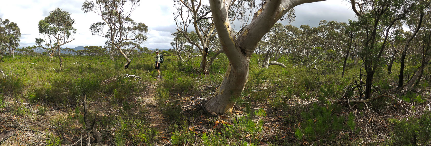
Emerging from the open forest near the cliff edge for the first time

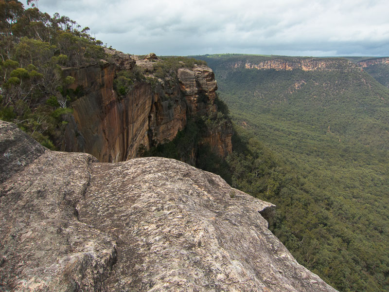
Wollondilly Valley views
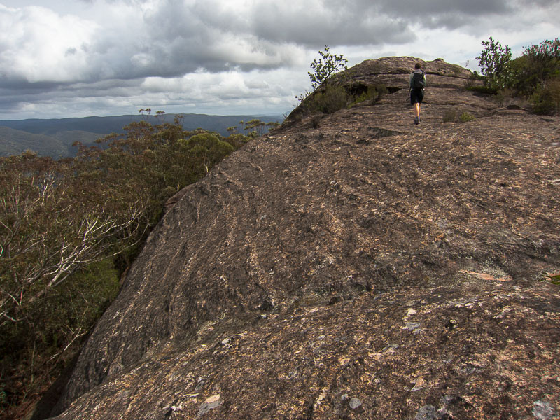
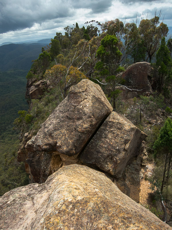
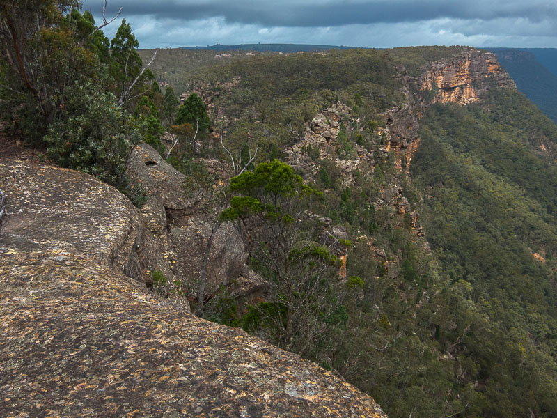
Once out on the cliff edge, much of the walking is along or around these interesting dome-shaped rocks
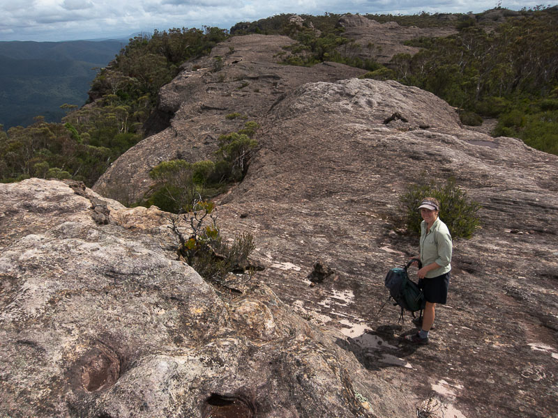
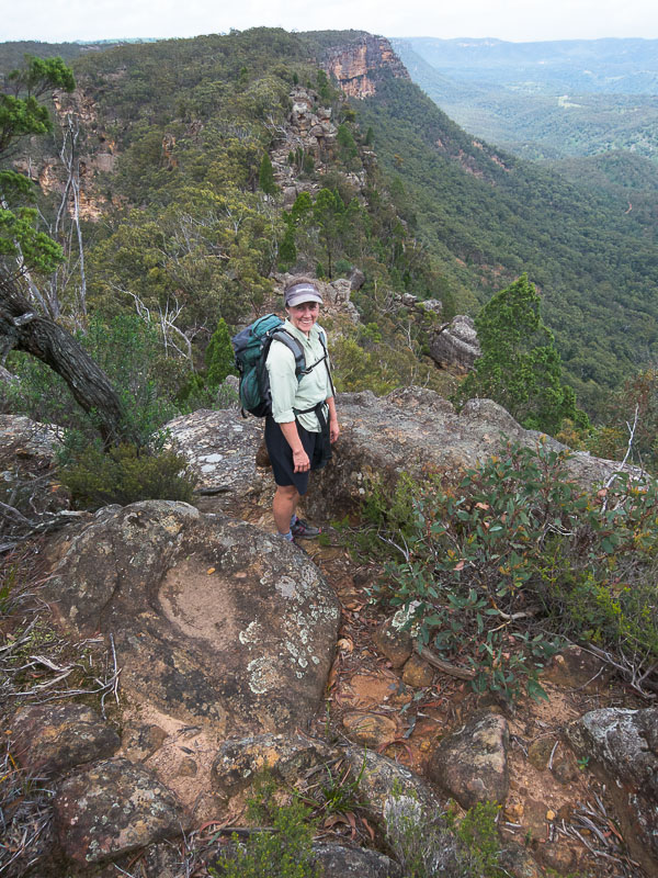
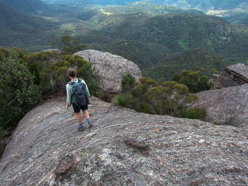
Rachel near the cliffs
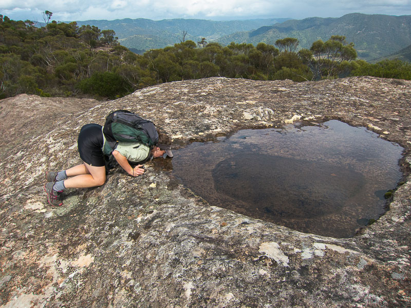
Plenty of water in rock pools after the recent rains
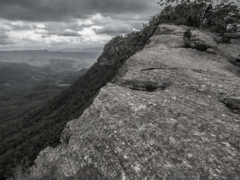
Looking back to the cliffs and Burnt Creek valley
Bonnum Pic near the end of the ridge
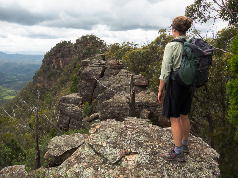
Rachel surveying the rocky ridge that lies between us and Bonnum Pic
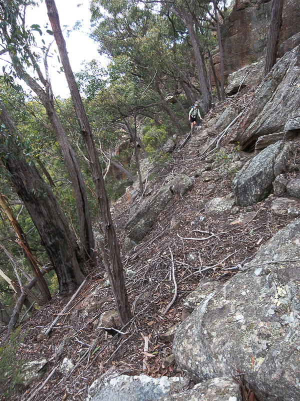
Some of the traverse takes us below the cliffline
Rachel near the summit
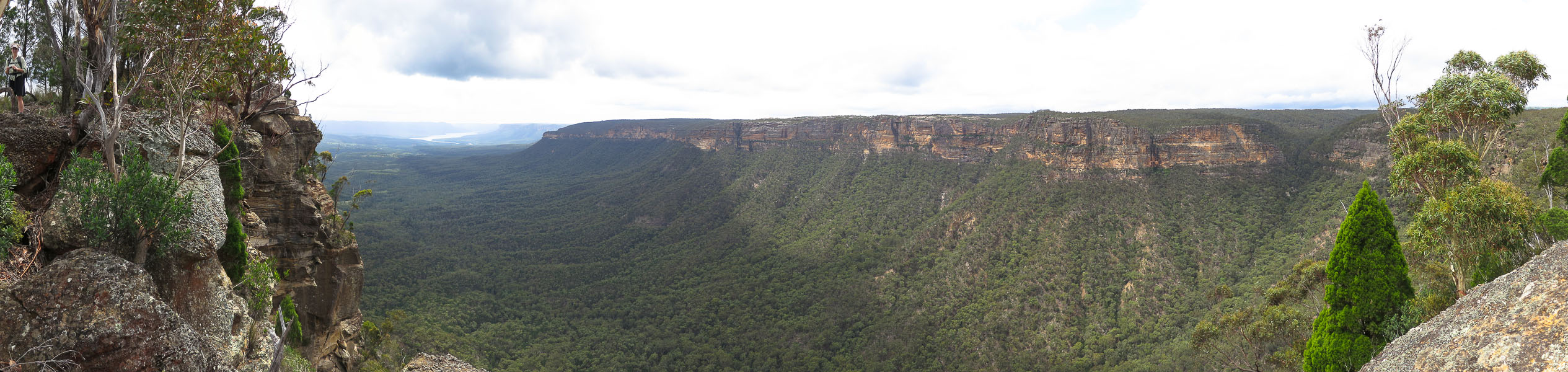
Panoramic views of Warragamba and the Wanganderry Walls (how's that for a bit of alliteration)
The narrow pinch between the main peak and the end of the ridge
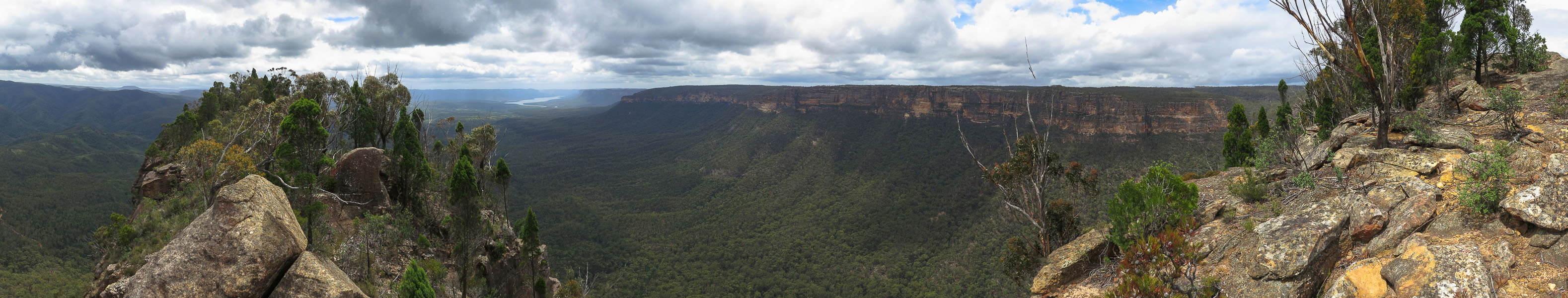
Panorama from the main peak

Looking along the final bit of the ridge, Mt Colong in the distance
Cliffline approach, from the Pic

Starting the scramble back
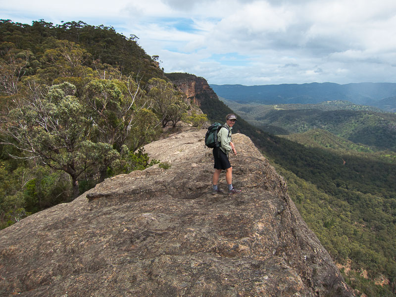
Rachel on the cliff edge
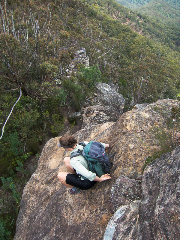
Steep scramble on the knife edge ridge
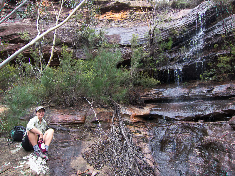
Handy waterfall where we were able to refill water. This probably only flows after rain (and it doesn't flow where the map says it does!)
Dome-shaped rocks above the Wollondilly Valley