13/05-02/06/2006 - photos
Participants: Tom Brennan, Rachel Grindlay
France
Paris
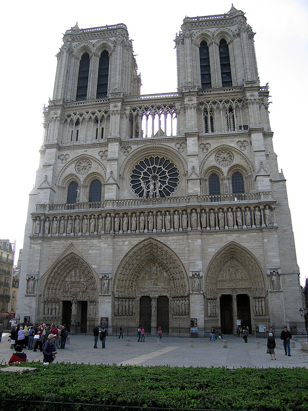
A recently cleaned Notre Dame, Paris
The Vercors Eastern Rim
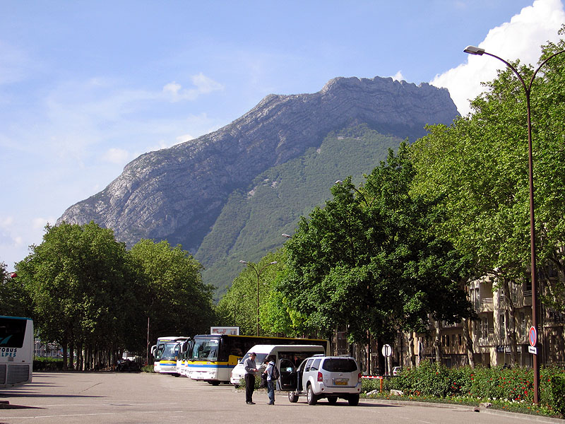
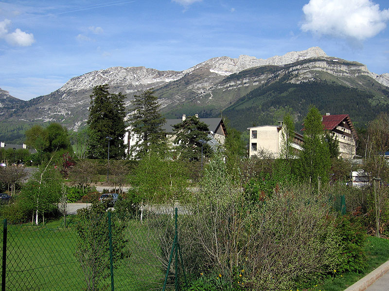
Grenoble
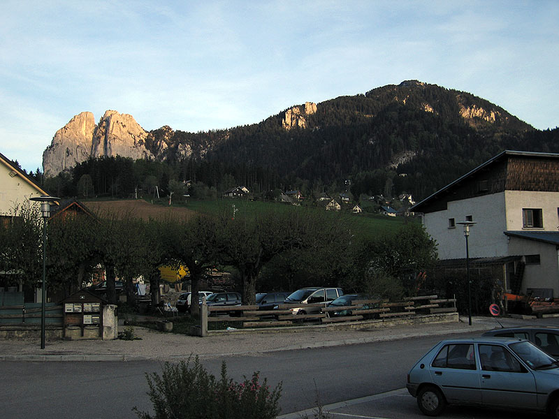
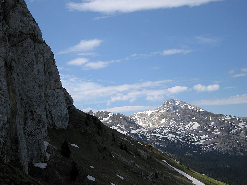
In the village of St-Nizier-du-Moucherotte looking out to Le Moucherotte (peak) and Les Trois Pucelles
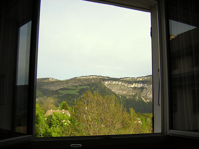
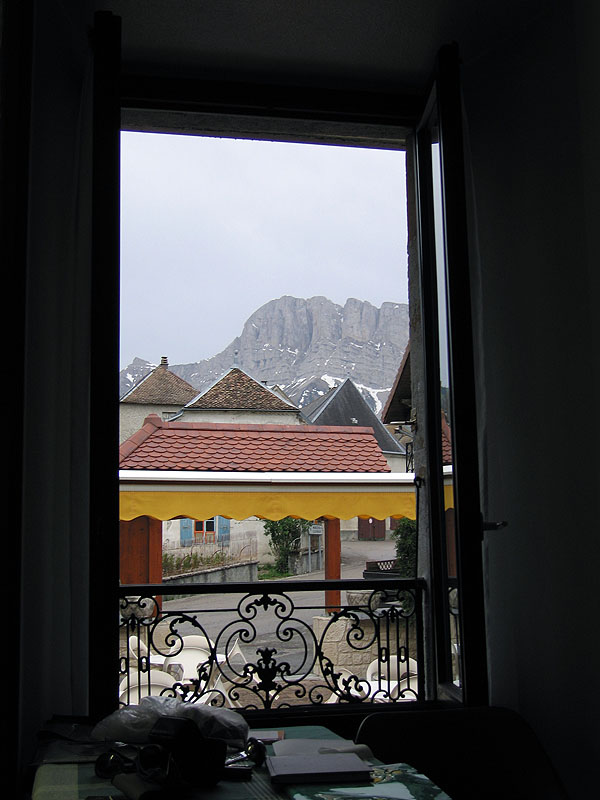
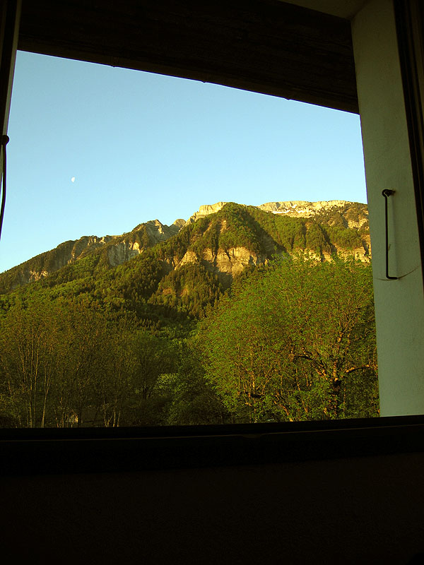
View from our room in St Nizier
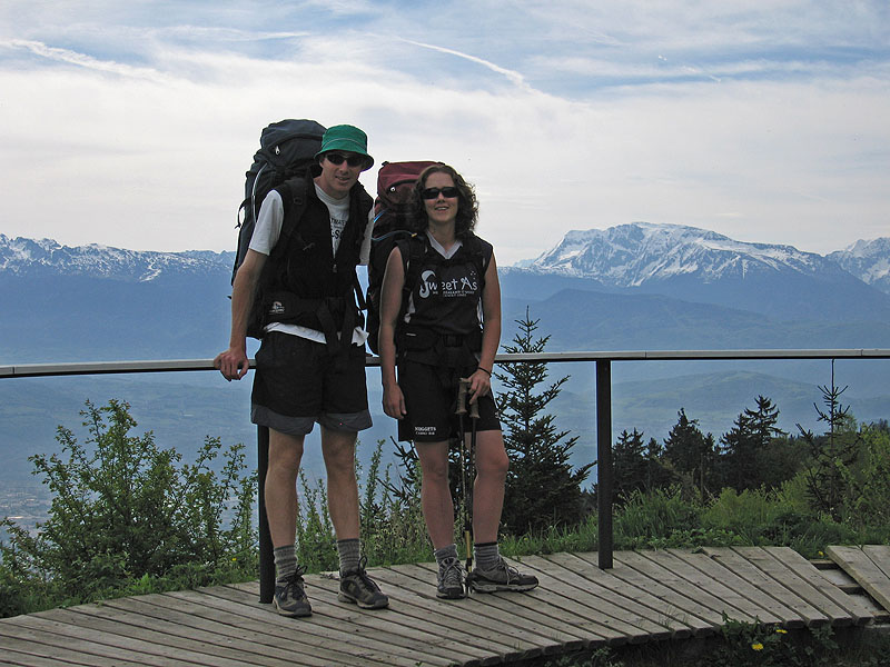
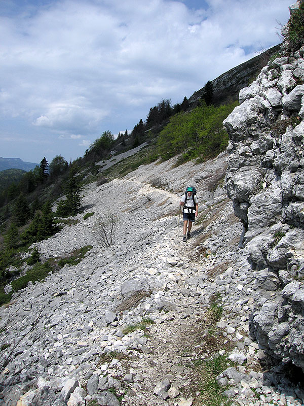
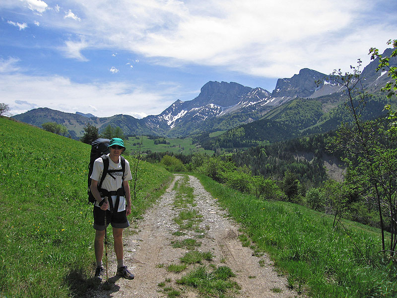
Start of our 70km walk
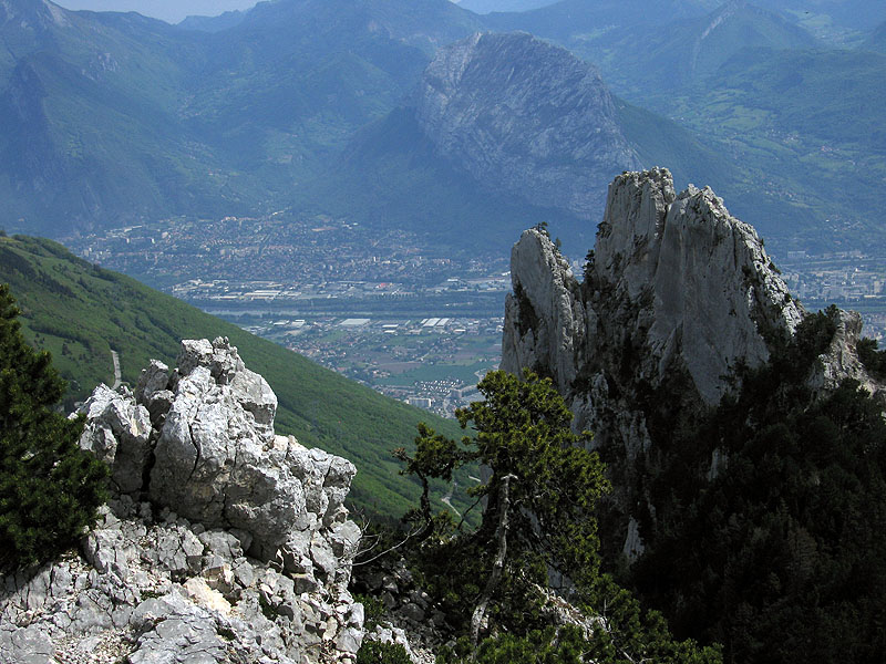
Looking down to Grenoble and Roc de Bataillon
Our first (of many) snow encounters - this one close to the peak of Le Moucherotte
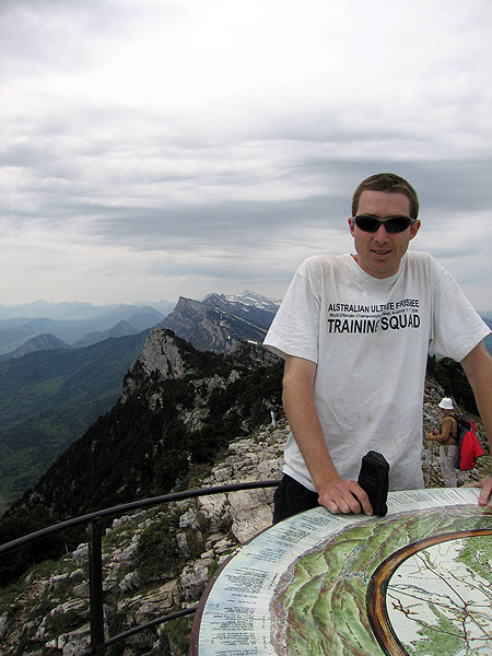
Tom at la table d'orientation at Le Moucherotte (1906m). Behind him is where the walk goes.
Tom walking along the path on the western side of the range
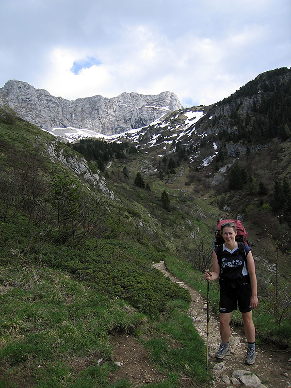
Rachel about to start the descent to Villard-de-Lans
View from Villard-de-Lans to the mountains our path follows
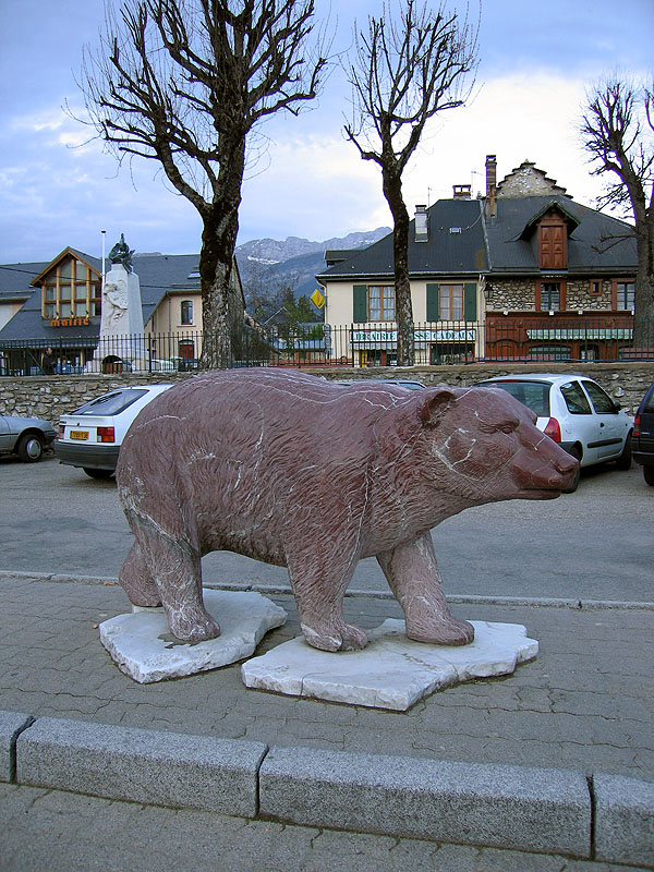
The mascot of Villard-de-Lans
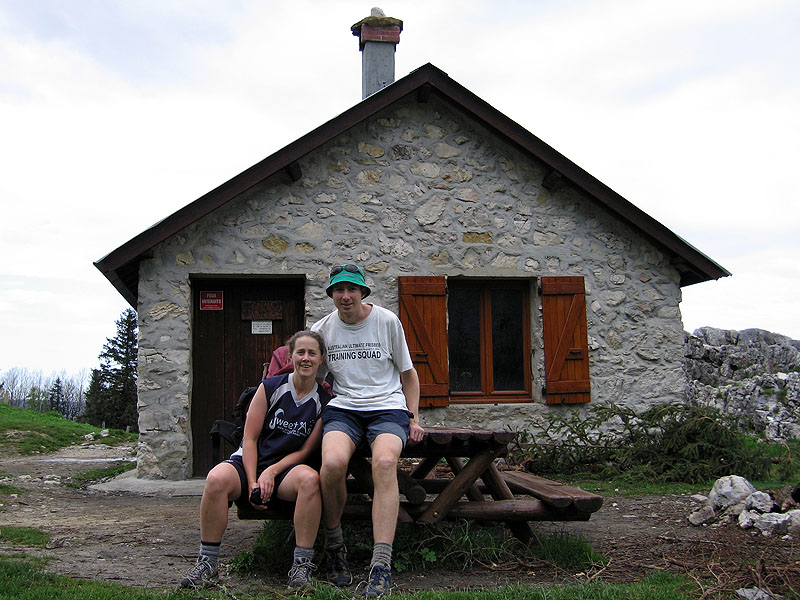
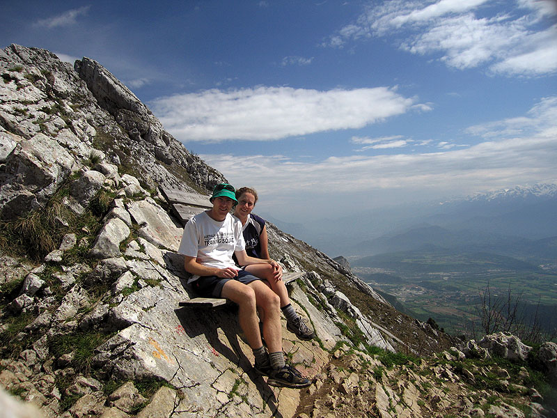
Rachel and Tom at the Royban Refuge
Views over the western side of the range
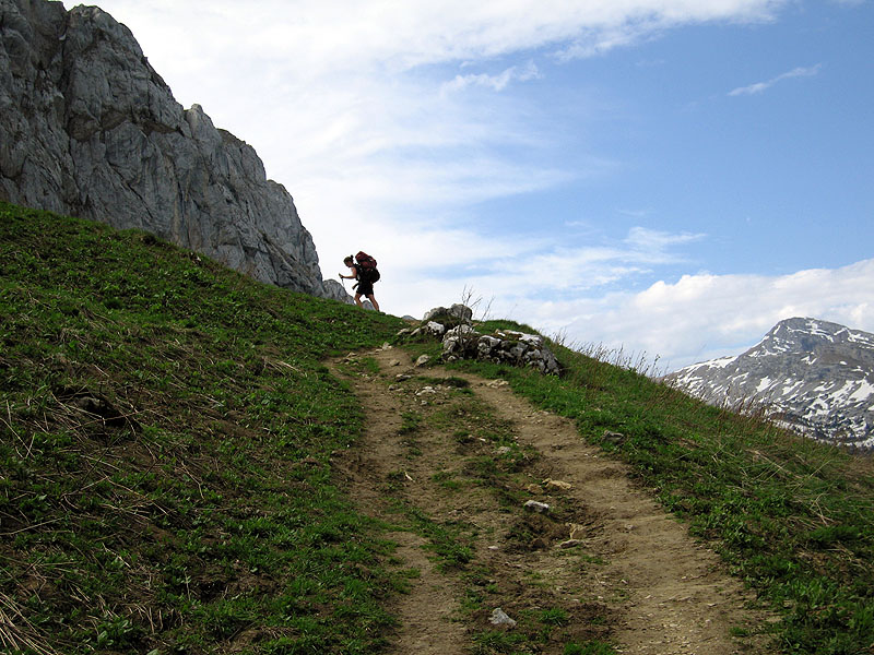
Rachel making her way up to the pass of Col Vert
Rachel still slogging her way up
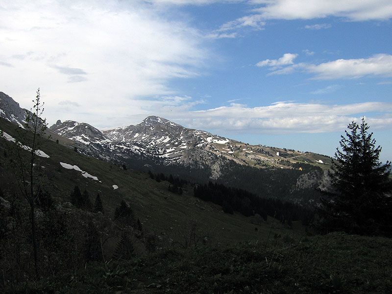
Final views of the western side of the range from Col Vert
Final views of the western side of the range from Col Vert
The seat at Col Vert (1766m) - Grenoble in background
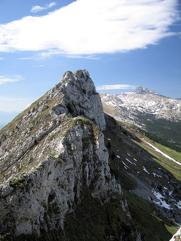
Tom on Sentier du Balcon Est with Les Aiguilles behind
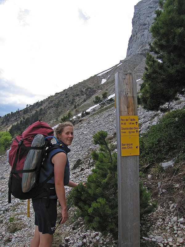
Rachel next to one of the many signposts - note the baguettes in rubbish bag attached to the pack!
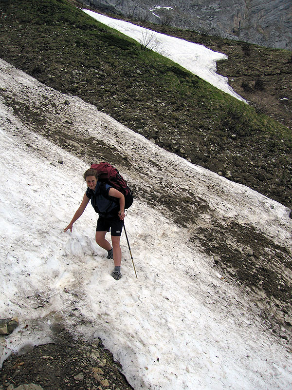
Rachel crossing one of the 4 snow drifts we encountered that day
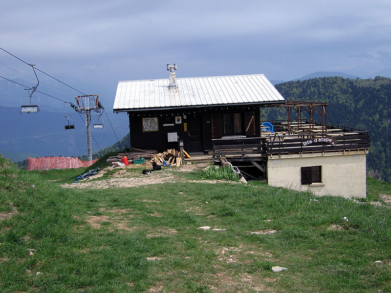
The gite d'etape we stayed at the end of day 2
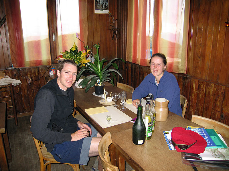
After dinner at the gite - our hosts tried to convince us to sample the local liqueurs - yellow and green chartreuse and Genepy des Alpes
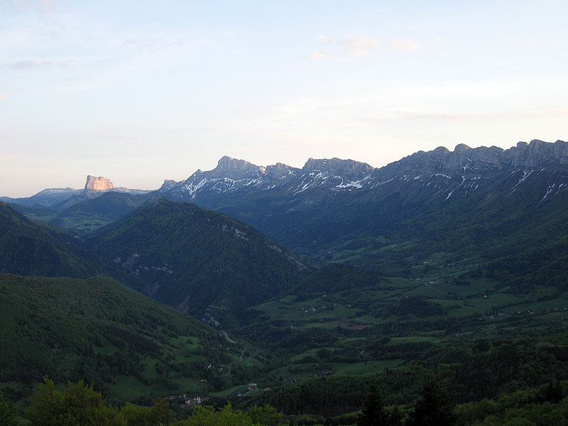
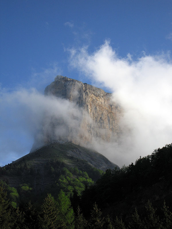
The view at sunset from the gite. Mont Aiguille is bathed in sunlight. Our original route would have taken us along the range on a path about half-way up the mountains. Due to the amount of snow we went through the valley instead
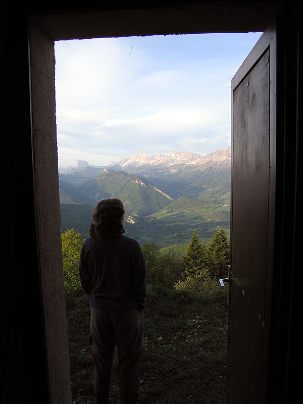
The view from our room in the morning
The Rochers des Deux Soeurs behind the gite
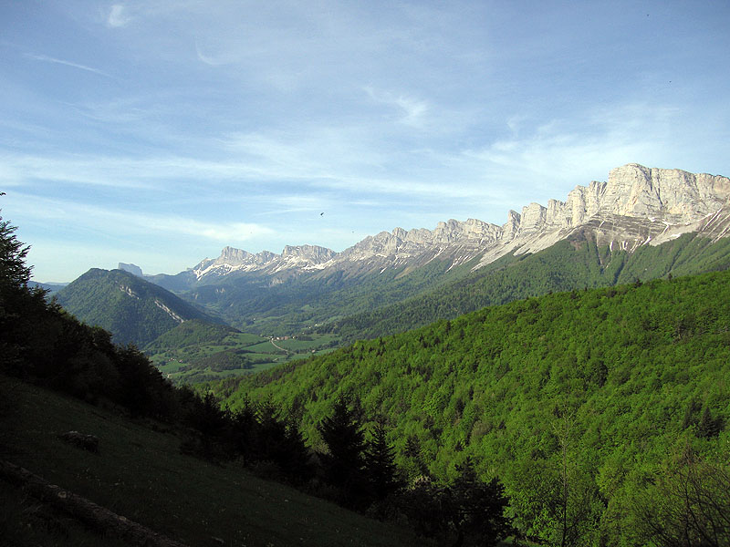
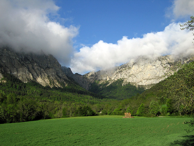
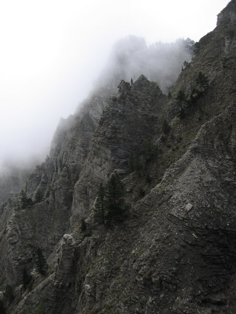
Another view of the eastern side of the range
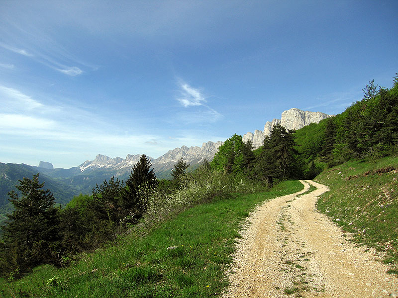
A far easier road to travel then the balcony path of the previous day!
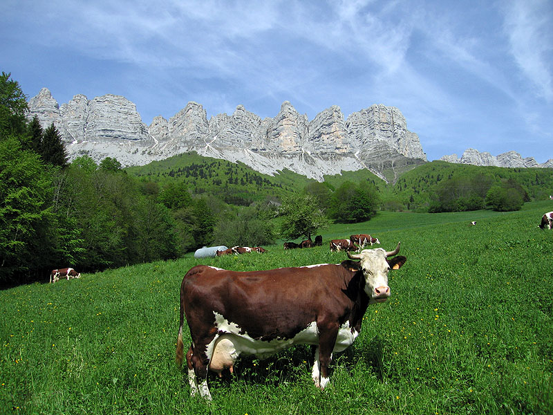
One of the many cows around - this one in the hamlet of St Andeol
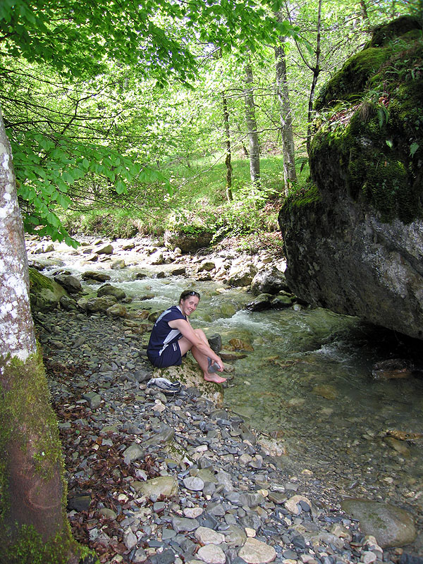
Our only stream crossing - the water was freezing!
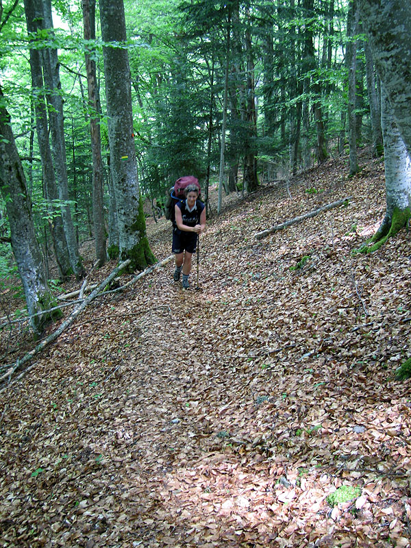
Walking up through the forest
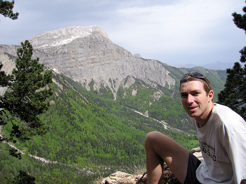
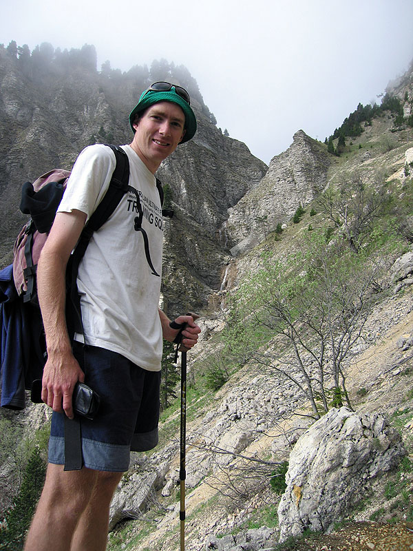
Tom with Le Grand Veymont in the background
View of Le Grand Veymont (2341m) from our room in Gresse-en-Vercors - we had planned to climb it but a combination of bad weather and too much snow stopped that plan
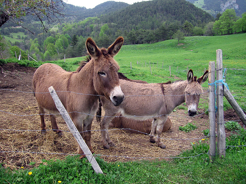
Donkeys in the hamlet of la Batie
Rest stop on the way to Col de l'Aupet

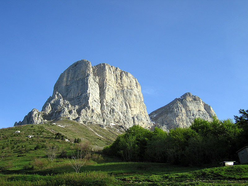
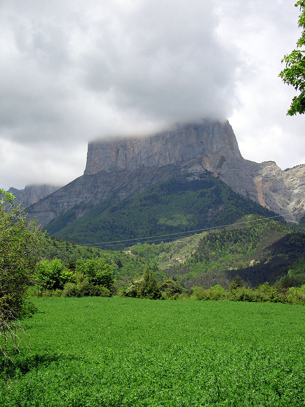
Mont Aiguille - the home of French mountaineering (first climbed in 1492)
View from our room in Richardiere
Mont Aiguille in the morning
Looking up to the Pas de l'Aiguille
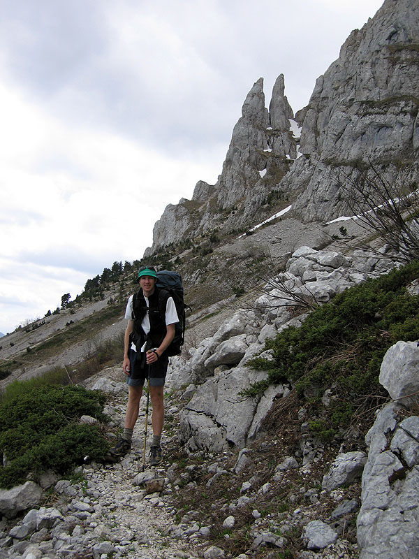
Tom en route to Pas de l'Aiguille
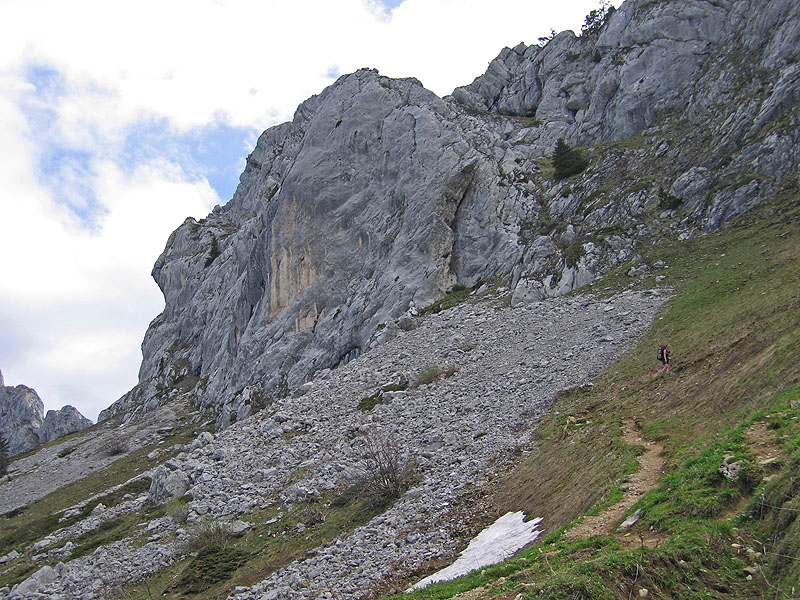
Looking down the dodgy terrain
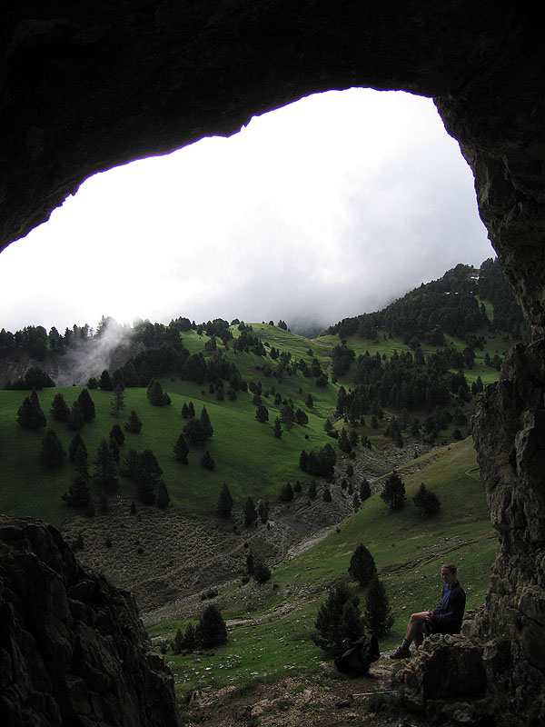
One of the caves on the plateau
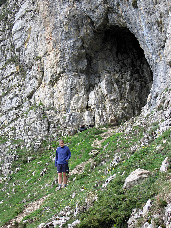
Mouth of the cave. This plateau was the scene of some WWII resistance. 23 men held out against German attack for over 30 hours in one of the caves
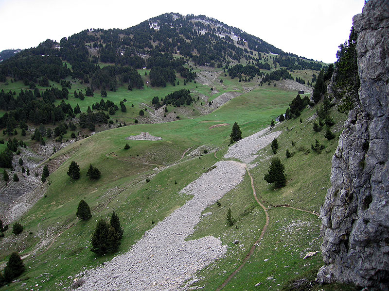
Looking out over the plateau and the monument to the 8 men who died during the attack
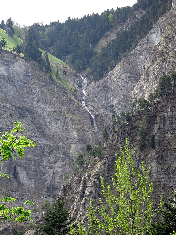
A waterfall
Final view of Mont Aiguille
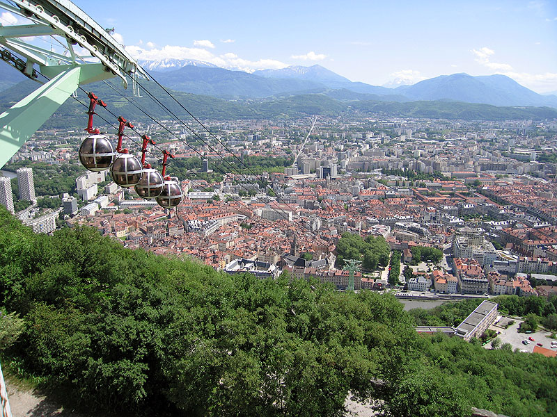
View from Fort de la Bastille over Grenoble. We came up in one of the pods
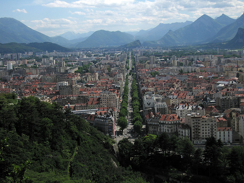
View of Grenoble - the straight road is 8km long!